Edge Collective
Water Storage Monitoring in New Mexico
Developing a satellite modem-based water level monitoring system in collaboration with Grass Nomads LLC and supported by the LOR Foundation.Development Journal
(2023-03-07) Initial technical notes. Some initial technical notes on the water storage monitoring project.
(2023-03-19) Test deployment of ultrasonic sensor and radio system in CT. An initial deployment of the ultrasonic sensor to measure water level in a homestead cistern.
(2023-03-25) Microcontroller setup. Research in support of choosing an appropriate microcontroller.
(2023-06-12) Lower-power, resilient operation. Learning to use the 'sleep' mode of the satellite modem; sleeping the microcontroller and depth sensor using a TPL5110 timer chip.
(2023-07-03) Stress testing the initial system. Testing the satellite system over a period of a few days; collecting statistics on battery consumption (and learning which statistics to collect).
(2023-08-03) Getting ready for first deployment. Testing updated boards; selecting enclosures
(2023-09-04) First Field Deployment. Initial test of a prototype in New Mexico.
(2023-10-13) Marsh Storage Field Deployment. Installation of water sensor at Marsh Storage site.
(2023-12-14) Marsh Storage Upgrade. Upgrading Marsh Storage to gps and a condensation-proof tank sensor
(2024-06-04) Upgrading the Power System. Description of the June 2024 Solar Power Upgrade.
(2024-10-30) Upgrades after lightning strike. Taking the opportunity to simplify the overall circuit.
(2024-12-23) Version 0.4 of board; debugging 999 sensor behavior. New, simplified sensor circuit; trying to fix the low-temp sensor behavior.
(2025-01-10) Further exploring low-temp behavior. Testing low-temperature fixes we made recently.
(2025-01-24) New power circuitry. Switching over to 3.2V LiFePO4 and boost
Background
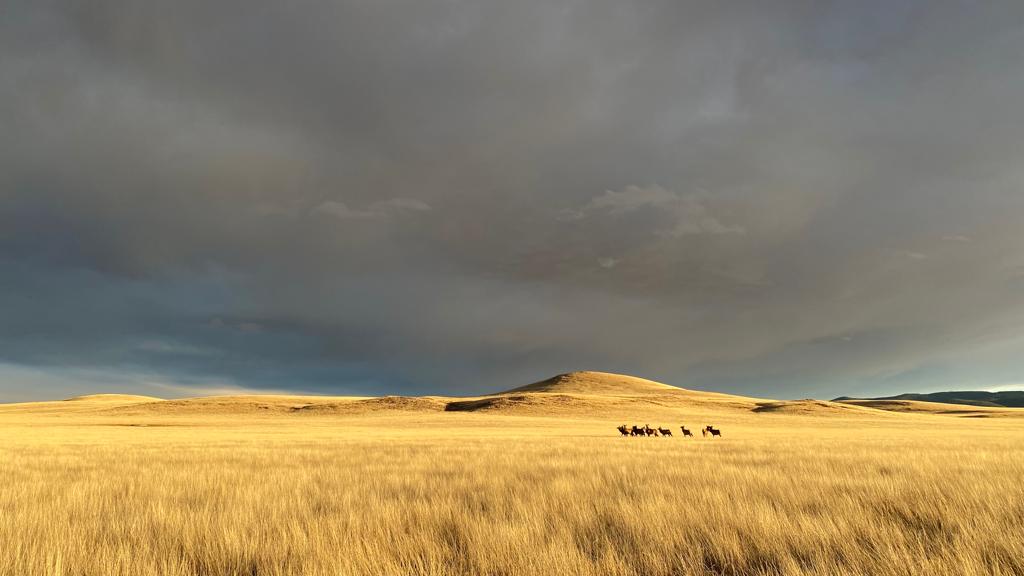
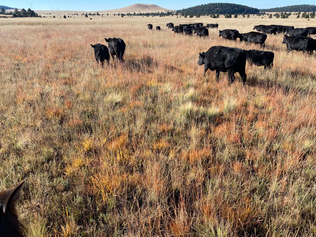
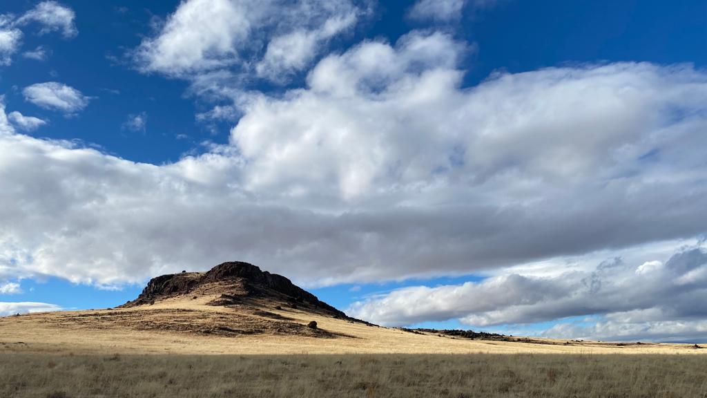
(Credit: Ariel Greenwood of Grass Nomads, LLC for the photos of Ojo Feliz Ranch, for the language in the 'Background' section below -- and for conceiving of this project & making it happen!)
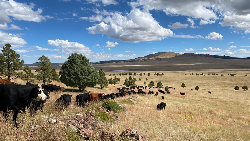
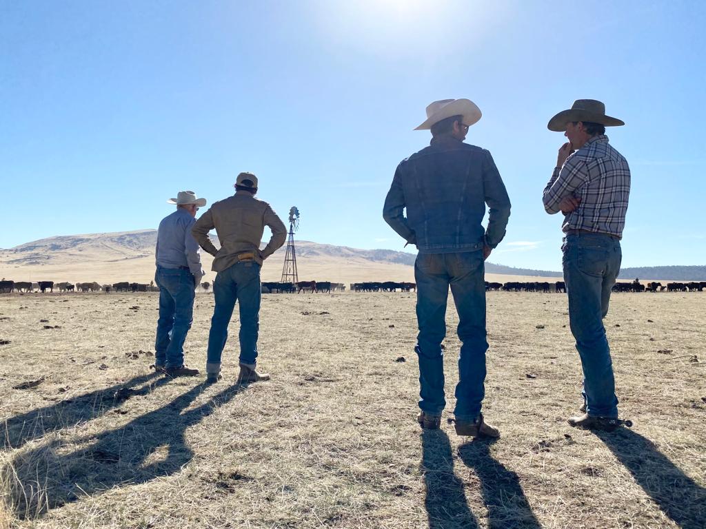
Leased by Triangle P Cattle Company and operated by Grass Nomads, LLC, the Ojo Feliz Ranch is a privately owned landbase in Mora County, New Mexico. Spanning 127,000 acres of deeded contiguous land, the ranch ranges from 6400 to 9200 feet in elevation, and is a geologically and biologically unique home to antelope, elk, bear, lion, and countless birds and reptiles.
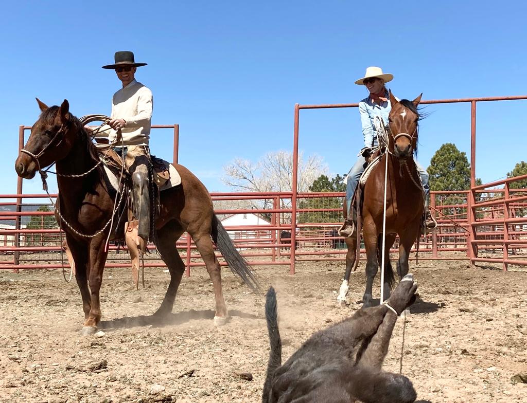
Triangle P and Grass Nomads LLC prioritize progressive range and ranch management to achieve their goals of improving the land while remaining commercially viable. Through planned grazing and infrastructure improvements, positive changes in species composition, diversity, ground cover, and plant vigor have been recorded at numerous monitoring sites across the ranch. Achieving these results has required grouping cattle together, carefully planning the grazing season, and improving and adding to the ranch’s fences and water system.
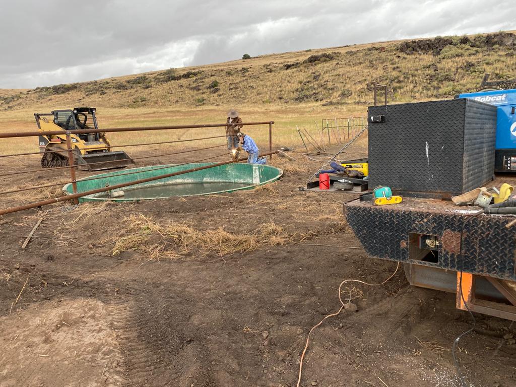
The ranch features over 30 miles of pipeline and dozens of wells, drinkers, and storage tanks. Storage tanks in particular are essential elements of the water system, as they allow for buffer in case of changes in livestock water consumption or catastrophic leaks, serve as water sources in case of fire, break pressure at critical elevation changes in pipelines, and allow us to gravity-feed to other troughs. Storage tanks also serve as an early indicator of problems in the water system, such as leaks, air locks, or failed pumps. Because of the size of the ranch, checking the water levels in these storage tanks can add dozens of miles and many hours to the work week–time that could be spent more productively.
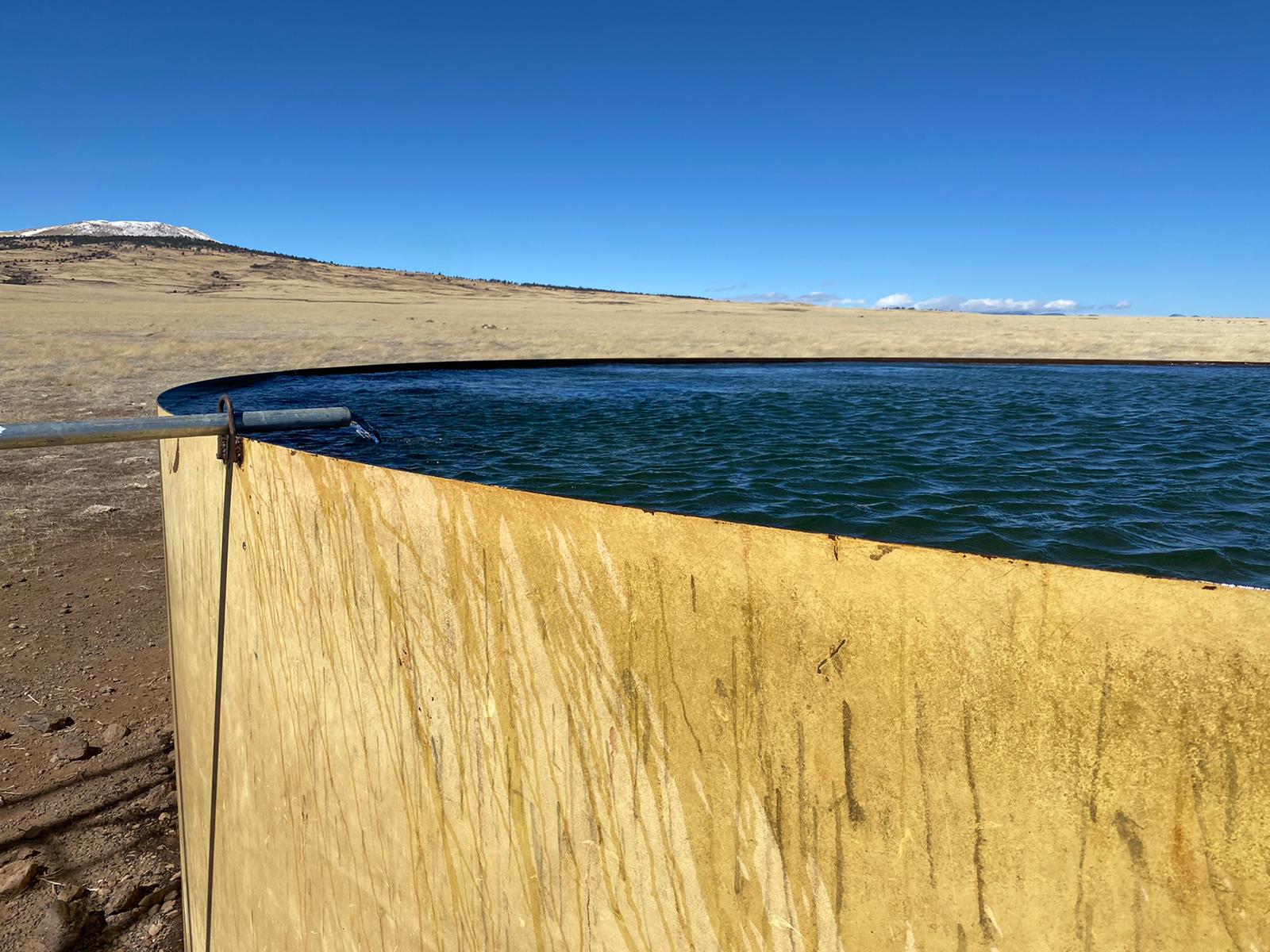
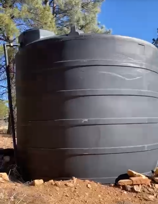
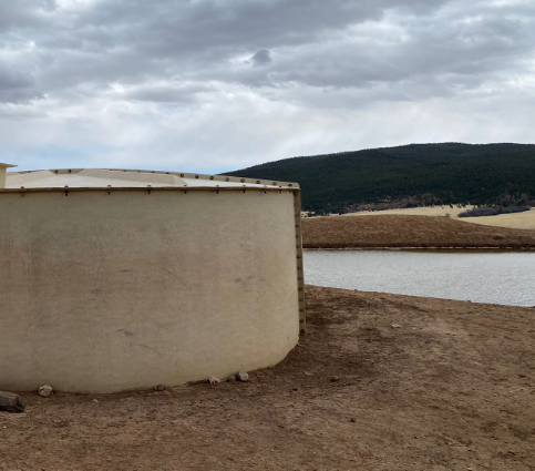
Grass Nomads, LLC is interested in collecting ongoing water level data from three storage tanks on the ranch, in particular: 'Twin Towers' (Fig. 1), 'Casias' (Fig 2), and 'Marsh Wells' (Fig 3).
 |
|---|
| Fig 1. The 'Twin Towers' water storage tank on Ojo Feliz Ranch, one of the tanks to be monitored. |
 |
|---|
| Fig 2. The 'Casias' water storage tank on Ojo Feliz Ranch, another of the tanks to be monitored. |
 |
|---|
| Fig 3. The 'Marsh Well' water storage tank on Ojo Feliz Ranch. |
Planned monitoring strategy
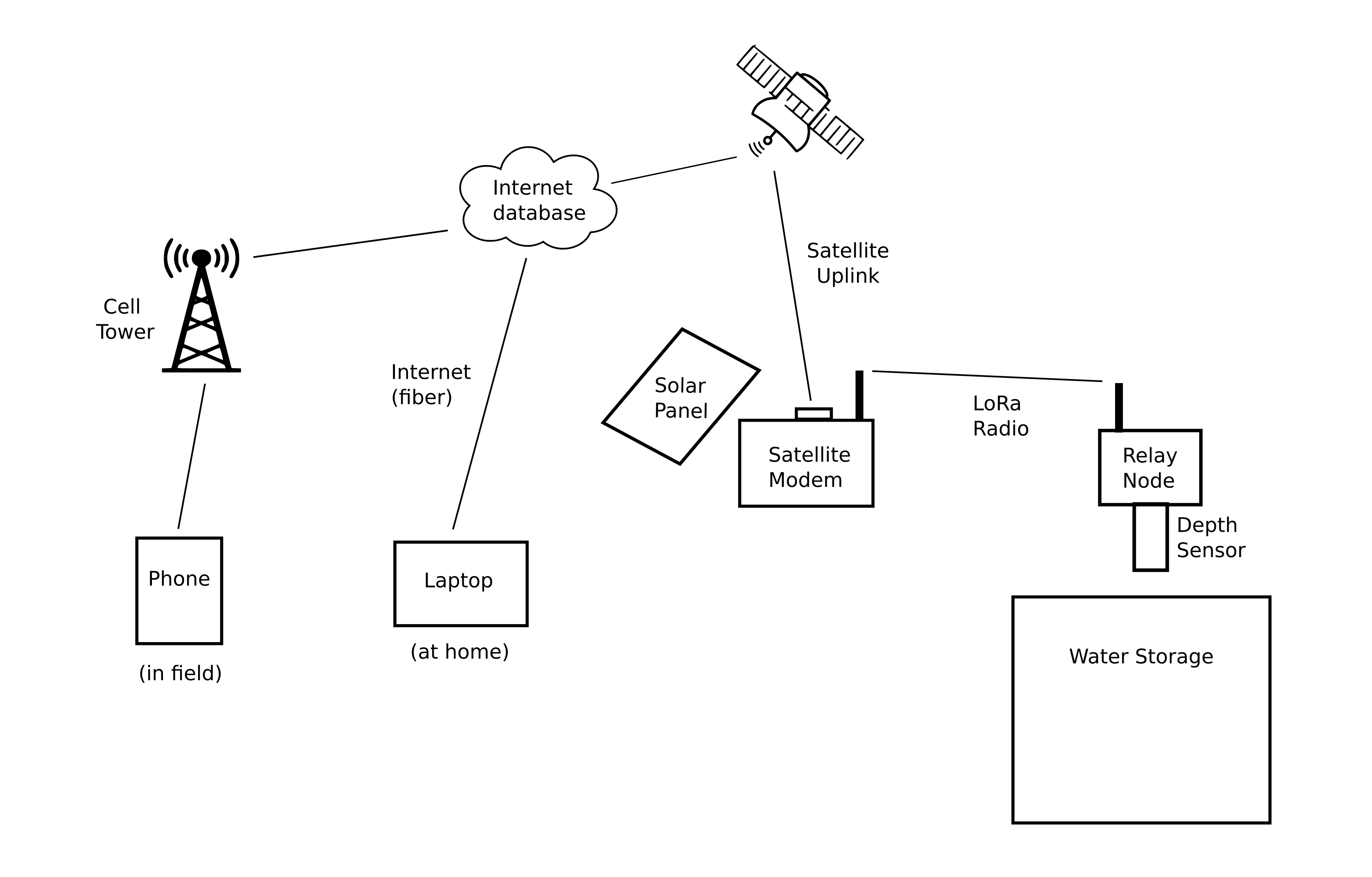
Because of the remote location of the water storage tanks and uncertain cellular coverage, we have decided to develop a satellite modem-based monitoring system. Currently, we are unsure as to whether the satellite modem (and accompanying solar panel) would best be situated directly on top / next to the storage tank, or whether a location 100+ feet away might better optimize solar energy and minimize obstacles to satellite coverage.
 |
|---|
| Fig 4. The overall approach to monitoring the water storage tanks. |
We are therefore designing the system to include a 'low-power, remote radio (LoRa) depth sensor node', which will be situated on the tank, and relay its data to a 'LoRa-satellite-modem gateway' somewhere within radio range (Fig 4).
The satellite modem will then send water level data to an online database, allowing Grass Nomads LLC to access up-to-date water level over the internet or on their phones, anywhere they have access to internet or cellular service.
Core hardware components for the design
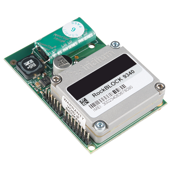
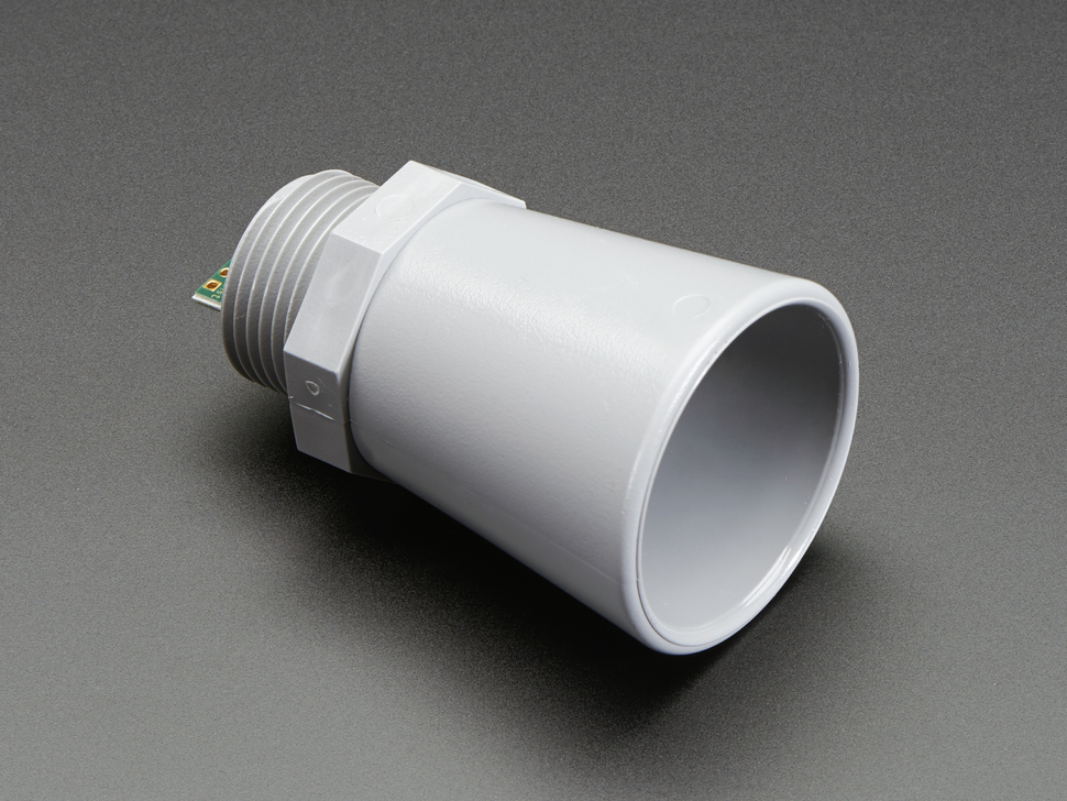
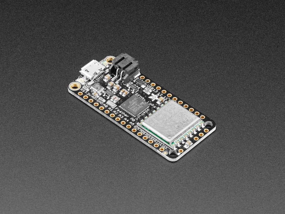
Except for the custom PCBs we will be designing, nearly every component of the system consists of off-the-shelf hardware, including the satellite modem (Fig 5), ultrasonic water sensor (Fig 6), and microcontroller + LoRa radio (Fig 7).
We've evaluated the satellite modem data plan pricing, and believe that if we send one water level update per day from each storage tank (with a message containing measurements at 4 hour intervals for the previous 24 hours), the associated cost of the satellite data service will be the same as or less than a comporable cellular data plan.
 |
|---|
| Fig 5. The Rockblock 9602 Satellite Modem, available e.g. from Sparkfun for $300 USD |
 |
|---|
| Fig 6. The Maxbotix MB7092, available e.g. from Adafruit for $100 |
 |
|---|
| Fig 7. The Feather M0 LoRa microcontroller, available e.g. from Adafruit for $35 |
 |
|---|
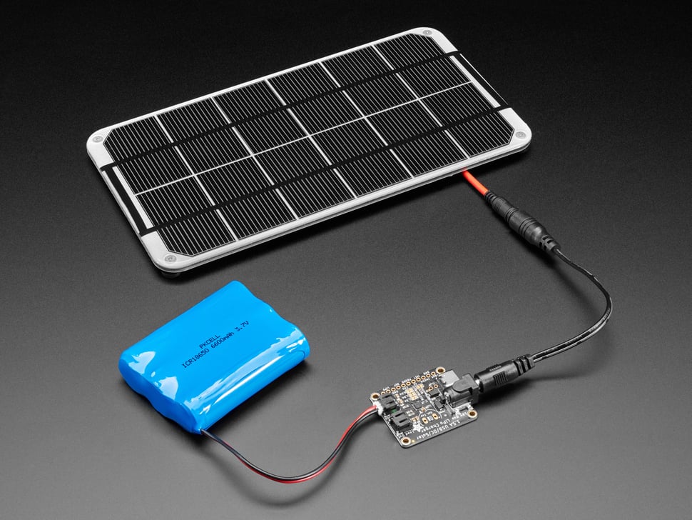
| Fig 8. Image from Adafruit LLC depicting the solar charging circuit ($15), we'll be using in our design, as well as a similar solar panel ($80), and 6600 mAh lithium ion battery ($25) to those we intend to deploy at Ojo Feliz. |
We'll be designing a simple, easy-to-solder through-hole PCB (printed circuit board) to integrate these components and allows them to be easily mounted inside a weatherproof enclosure, and connected to a solar panel, battery, and associated solar charging circuitry (Fig 8).
Prior work
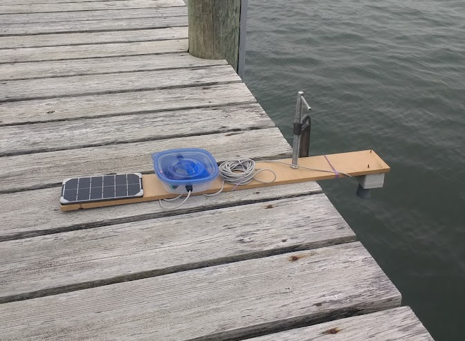
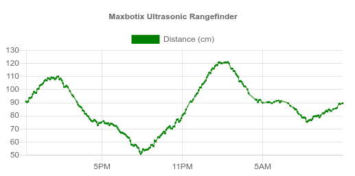
At Edge Collective we have previously developed and worked with most of the non-satellite components of this system, collecting data from a solar-powered ultrasonic water level sensor (Fig 9) via local LoRa radio connection to a LoRa-wifi gateway, and sending it periodically to an online database (Fig 10).
 |
|---|
| Fig 9. A previous, LoRa-based ultrasonic water level sensor prototype built by Edge Collective. |
 |
|---|
| Fig 10. Data from an initial deployment of a LoRa-based ultrasonic sensor |
Another example of a version of the (open source) online database system we'd previously developed (in this case, used for chicken coop temperatures) is here.
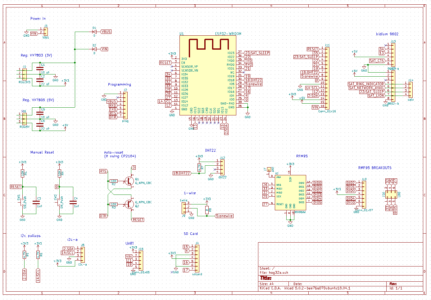
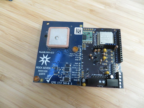
Edge Collective had also previously developed an [open source LoRa radio + satellite modem gateway] in a previous design (see Figs 11 and 12), which was designed to relay data from field sensor relay nodes in a very similar manner to the planned system for this project.
 |
|---|
| Fig 12. Previous Edge Collective gateway design, the 'Quahog', which incorporates satellite modem (left), as well LoRa radio and wifi-enabled microcontroller (right). |
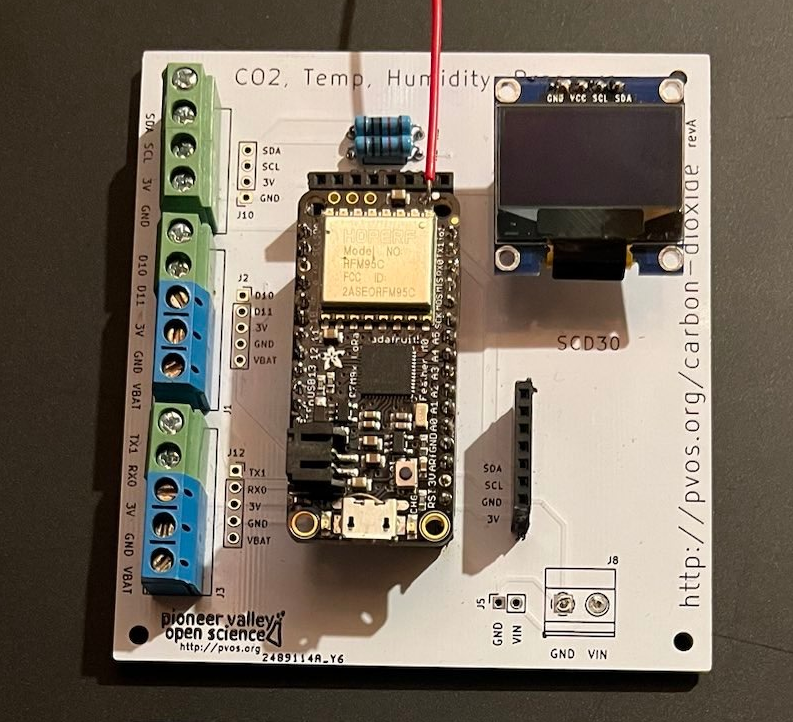
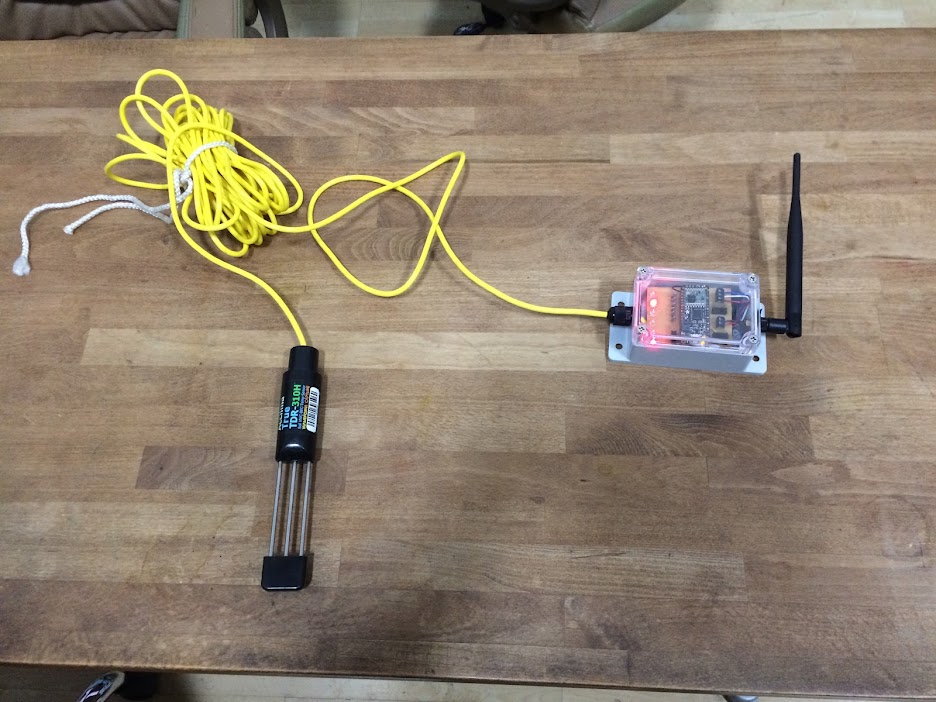
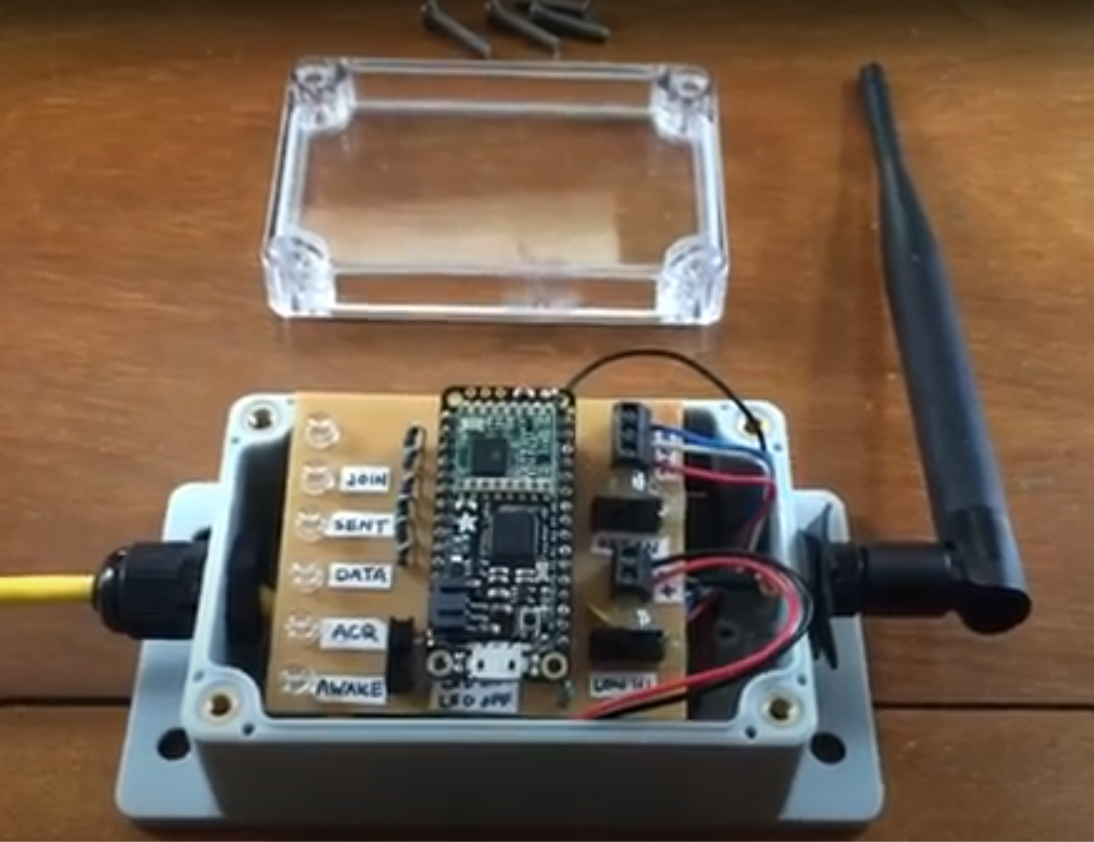
Edge Collective had also designed a low-power, battery-powered LoRa relay node (Figs 13 and 14) and antenna inside an off-the-shelf weatherproof enclosure for a previous project involving an Acclima soil moisture sensor. The design of that relay node has significant overlap with the relay node we intend to design for the ultrasonic relay node.
 |
|---|
| Fig 13. A previous Edge Collective sensor LoRa relay design (right); in this case, for capturing data from an Acclima soil moisture sensor (left) and relaying data via LoRa to a LoRa-wifi gateway. |
 |
|---|
| Fig 14. Closeup of the Edge Collective LoRa relay node, showing the custom circuitboard, indicator LEDs, screw terminal connectors, and Feather LoRa microcontroller daughterboard. |
Recent Edge Collective projects have refined the process of designing easy-to-solder PCBs (printed circuit boards) that integrate off-the-shelf products into circuits that are ready to mounted in an enclosure (Fig 15).
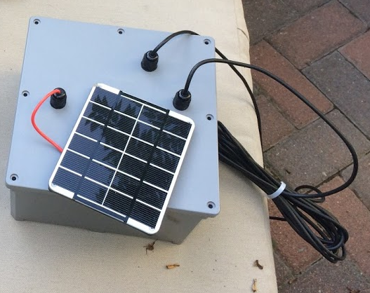
Several Edge Collective projects have been deployed in the field for long-term, low-power monitoring projects using solar panels and off-the-shelf weatherproof enclosures -- including standard 'electrical conduit boxes' from Home Depot (Fig 16).
Edge Collective has also developed an open source, no-frills online database with graphing functionality and the ability to download historical data as CSV or JSON files. (For example involving data from an off-grid chicken coop, see Fig 17.)
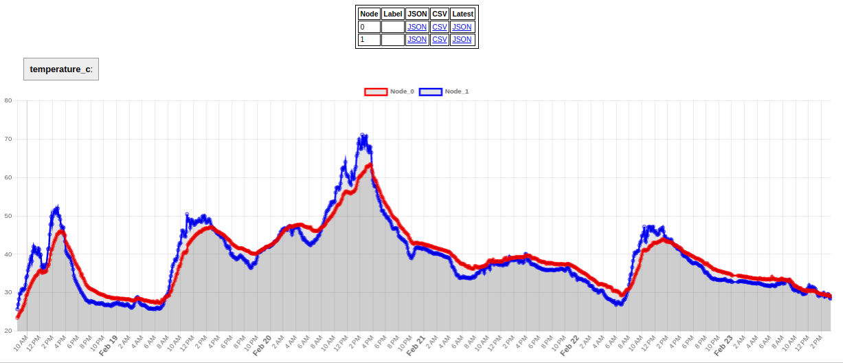 |
|---|
| Fig 17. Screen capture of graphical data for a data feed (in this case, data from an off-grid chicken coop LoRa-based temperature sensor) hosted on bayou.pvos.org, Edge Collective's open source online database. The Ojo Feliz system will likely use Bayou, but could also be reprogrammed to use other online data storage options (e.g. storing data directly in a Google spreadsheet). |
Current status
We currently have a working breadboard prototype (Fig 18) of a satellite modem + ultrasonic water level device, which has successfully posted its data to an online database.
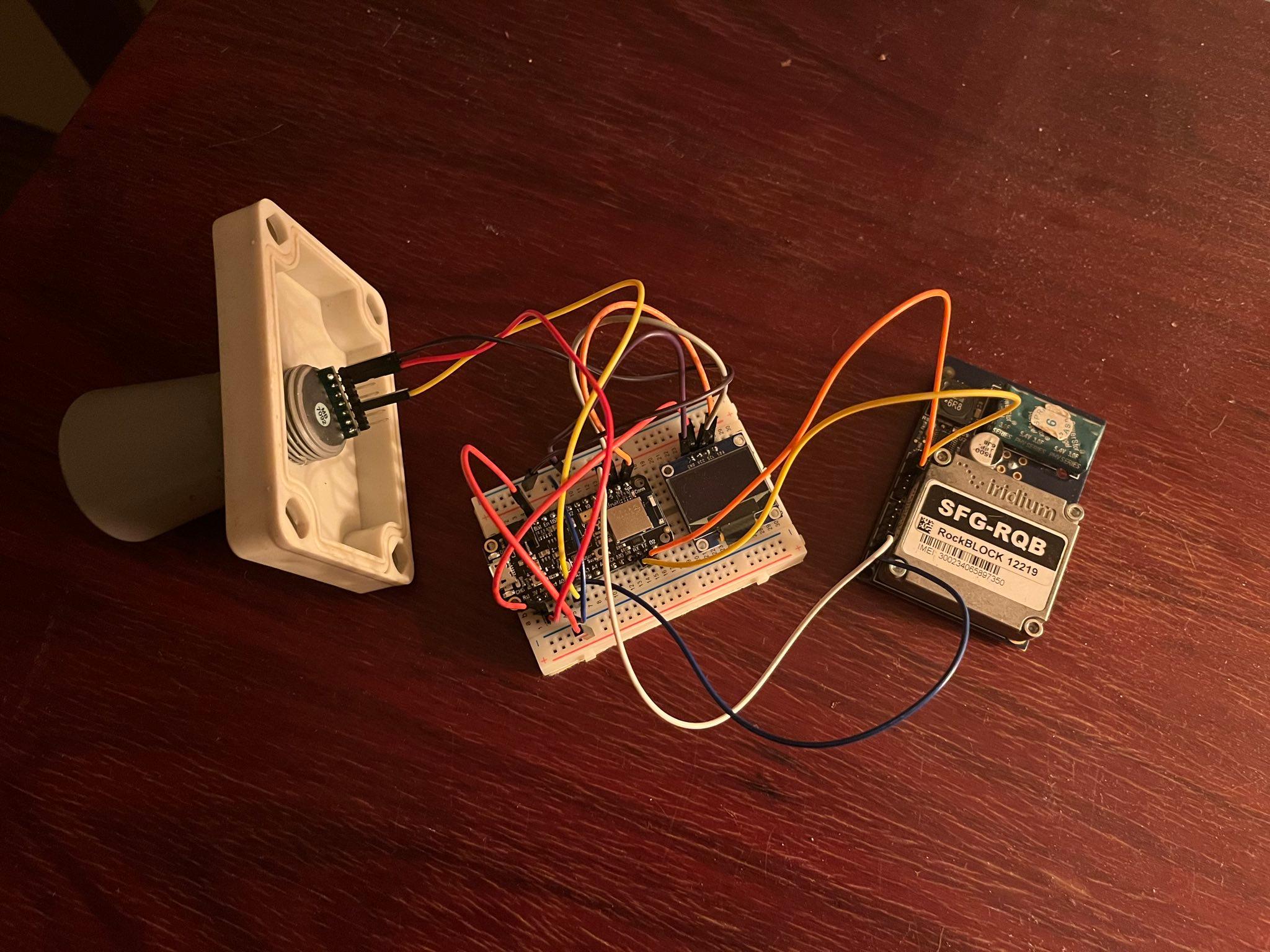 |
|---|
| Fig 18. Breadboard prototype demonstrating integrated functionality of ultrasonic sensor, microcontroller, and satellite modem functionality. |
We have also developed a sensible encoding scheme so that water level data from the ultrasonic sensor, collected at 4 hour intervals over a 24 hour period, can be compressed and sent over a single satellite modem transmission once per day, significantly decreasing data plan costs.
Next steps include designing and producing a batch of integrative PCBs for these devices, optimizing the firmware for power, and adding in the 'LoRa relay' node circuitry if necessary.
